Drone Mapping + Aerial Surveying Solutions

Commercial Drone Imaging & Photogrammetry Services

Discover a new standard in Bradenton and Sarasota property inspections and drone services with Homestead Property Inspections. As certified FAA Part 107 operators, we excel in delivering comprehensive drone solutions tailored to your requirements. Our cutting-edge drones unlock a multitude of possibilities, from real-time construction updates to precise 2D mapping and immersive 3D modeling. Immerse yourself in a virtual exploration of your entire project site and effortlessly calculate stockpile volumes, thanks to our advanced capabilities. By leveraging our expertise and state-of-the-art technology, we revolutionize your approach to construction projects, optimizing every step of the way.

We always include a free basic thermal scan of your home with any full home inspection.

Construction

  • 3D Models
  • Site Mapping
  • Project Planning
  • Site Progression

Inspections

  • Bridges
  • Rooftops
  • Power Lines
  • Building Facades

Commercial

  • Shopping Centers
  • Office Parks
  • Office Buildings

Get A Bird’s-Eye Perspective

Experience a bird’s-eye view of your property, roof, or jobsite with stunning high-resolution aerial mapping.

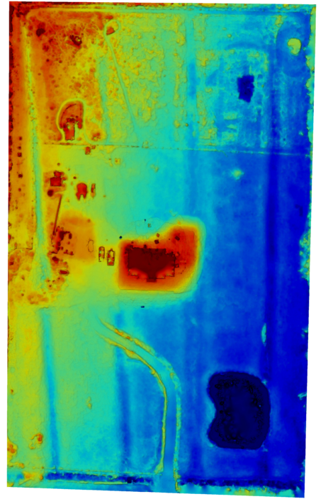
Unlock the power of aerial mapping and modeling to effortlessly gauge distances,  strategize your project through  cut and fill analysis, and maintain an permanent record of every milestone and installation. Whether you choose a one-time package or prefer the ease and flexibility of a reoccurring visits, these services are readily accessible to accommodate your unique requirements.

ElevationMap View

Benefits And Applications

  • Time-Efficient

    Land development necessitates topographic maps, boundary delineations, land evaluation, and more. Traditional ground-based mapping methods are more time-consuming compared to utilizing drones. Drones expedite data capture, allowing for faster acquisition of all required information and delivering results with a shorter turnaround time.

  • Economical

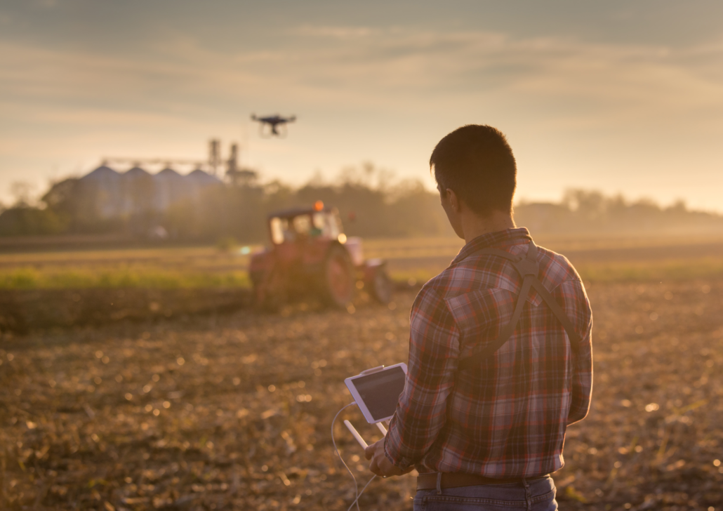
    Unlike relying solely on labor, drones efficiently capture high-resolution aerial images and videos, offering a comprehensive view of the construction site from various angles. This automated process eliminates the need for extensive manpower and minimizes the time required for on-site inspections. By streamlining the data collection process, drones enable construction professionals to allocate resources more efficiently, leading to substantial cost savings.

  • Data Collection

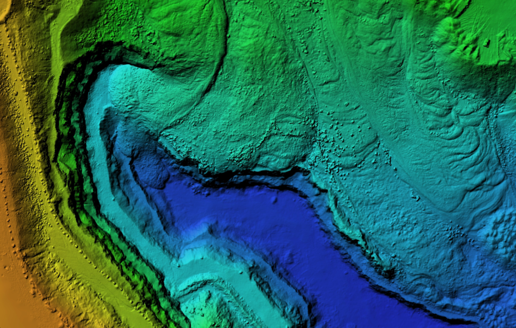
    Equipped with advanced cameras, drones have the capability to capture imagery that generates an extensive array of data points, encompassing georeferences, elevation details, and colors. Leveraging this data, it becomes possible to generate high-resolution orthomosaics and 3D models of sites or buildings. This technology surpasses the limitations of traditional surveys, empowering clients to gain a comprehensive and immersive understanding of the project far beyond what was previously achievable.

  • Volumetric Calculations

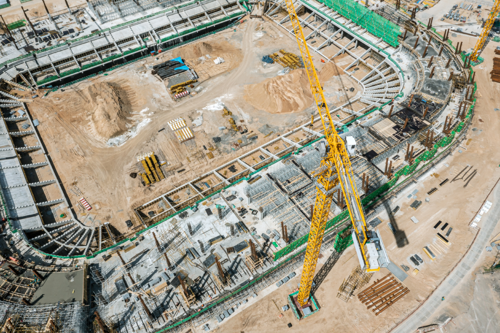
    Construction companies face significant financial risks when their stockpiles are not meticulously monitored. Conventional volumetric measuring methods can consume valuable time, often taking up to a week to complete. However, drones offer a swift and efficient solution by rapidly scanning construction sites, accurately assessing stockpiles, material extraction pits, and spoil heaps in a fraction of the time. By embracing drone technology for monitoring purposes, construction companies can mitigate potential losses and ensure precise inventory management in a timely manner.

Our team ensures swift communication, guaranteeing a response to your quote request within 24 hours. To expedite the process, please provide comprehensive details in your request regarding the desired service and deliverables. Should additional information be required, we will promptly inform you. Request A Quote Here or Call 941-932-0095

Contract is signed, payment is made. Then we plan out the flight, taking into account weather and airspace restrictions.

We map out your property for the drone to capture hundreds of images to be stitched together.

We provide you with 2D/3D maps in the desired format for ease of use.

Mapping

With our drone orthomosaic mapping service, you can gain valuable insights into your project area, enabling more informed decision-making and enhancing the efficiency of various operations. Whether you’re involved in urban planning, construction, resource management, or any other industry that relies on accurate geospatial information, our drone mapping solution can be tailored to meet your specific needs.

At Homestead Property Inspections we bring our extensive experience as home inspectors, coupled with our unwavering attention to detail, to the realm of drone mapping, roof inspections and construction progress updates. We understand the importance of thorough inspections and precise documentation when it comes to ensuring the success of any project. By leveraging drone technology, we offer a new dimension to the construction industry, providing accurate and comprehensive visual data to facilitate efficient decision-making and progress tracking. Our expertise in identifying and documenting intricate details during home inspections seamlessly transfers to the world of drone mapping, enabling us to capture and analyze crucial information from aerial perspectives. Trust us to deliver unparalleled accuracy, efficiency, and professionalism in every project we undertake.

https://sketchfab.com/3d-models/myakka-property-model-b7cca598109d4ac68843a65a64586951